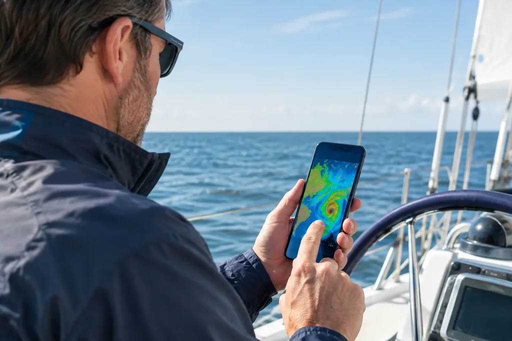
A pleasant forecast at the dock can turn into a very different day once you are committed to a crossing, rounding a headland, or entering a narrow channel. The best marine weather apps help sailors see more than a small sun or cloud icon. They show the wind shifts, pressure patterns, wave direction, tide timing, and warnings that shape a safe decision.
For coastal sailing, especially around British Columbia’s complex shoreline, no single screen tells the whole story. A good app is a useful crewmate, but it is not a substitute for proper passage planning, local knowledge, a VHF radio, and the judgment to wait when the conditions do not support the crew or vessel.
What Makes a Marine Weather App Worth Using?
General weather apps are fine for deciding whether to carry a jacket. They are not designed to answer the questions that matter on a boat: Will the afternoon thermal wind build against the current? Is the swell entering the harbor? Will a frontal passage arrive before we reach our anchorage?
The most useful marine apps combine several of the following: official warnings and marine forecasts, wind speed and gusts, wave height and period, tides and currents, radar or satellite imagery, and forecast models that can be compared rather than blindly accepted. Offline access matters too. Cellular coverage can disappear quickly behind an island or in a coastal inlet.
The right choice also depends on the kind of sailor you are. A beginner on a day sail needs a clear warning picture and an understandable wind forecast. A cruiser planning a multi-day passage needs model comparison, routing tools, and detailed wave data. In either case, start by learning what an app does well and where it can mislead you.
The 7 Best Marine Weather Apps for Coastal Sailors
1. WeatherCAN for official Canadian forecasts
For sailors operating in Canadian waters, WeatherCAN is a sensible first stop. It provides official weather information from Environment and Climate Change Canada, including alerts and regional forecast material. When warnings are issued, an official source should be part of your pre-departure routine.
Its strength is authority and clarity, not advanced passage planning. Use it to understand the larger forecast picture and active warnings, then pair it with a marine-focused wind and wave tool. Forecast zones can cover a lot of water, so take time to consider how local terrain, channels, and headlands may alter conditions where you actually intend to sail.
2. Windy for seeing the big picture
Windy is popular because it makes weather patterns easy to see. You can view wind, gusts, waves, rain, pressure, temperature, and several forecast models on a moving map. That visual perspective is particularly helpful when a system is approaching the coast or when you want to see whether winds will funnel through a strait.
The trade-off is that a colorful map can look more certain than it is. Pay close attention to which forecast model you are viewing, the forecast time, and the units selected. Rather than treating one model as fact, compare models. If they agree, confidence improves. If they differ significantly, plan conservatively and look for more information.
3. PredictWind for passage planning
PredictWind is built for sailors who want to make weather-informed routing and passage decisions. Its model comparison tools, wind and wave data, routing functions, and offshore-oriented features make it particularly valuable for longer trips and serious cruising.
There is a learning curve, and some of its strongest features require a paid plan. That is worthwhile for a sailor preparing for an extended cruise, but it may be more than a casual day sailor needs. The app is most effective when you understand the forecast inputs and remain willing to reject a suggested route if sea room, crew comfort, fuel range, or local hazards say otherwise.
4. SailFlow for detailed wind observations
SailFlow is especially useful when wind is the deciding factor. Its station observations and wind-focused forecasts can help sailors identify what is happening now, not just what a model predicted hours earlier. For racing, afternoon sailing, and locations where local winds develop quickly, that is valuable information.
Observed data always deserves a close look, but station location matters. A reading from a sheltered marina, airport, or exposed headland may not represent the water you are about to cross. Look at several nearby stations, note their exposure, and compare them with what you can see from the dock.
5. Windfinder for quick wind and wave checks
Windfinder offers a clean, fast way to review wind, gusts, wave conditions, and station data. Many sailors appreciate its straightforward forecast tables, which make it easy to spot a building breeze or a favorable morning departure window.
It is an excellent everyday reference, particularly if you prefer numbers over animated weather maps. Still, wind direction and speed alone do not define the day. A moderate wind against a strong current can create a short, uncomfortable sea, and a forecast table will not always capture the full effect of local geography.
6. Savvy Navvy for route context
Savvy Navvy brings weather, tides, charts, and route planning into one practical planning environment. For sailors who are learning how weather affects a route, it can make the connection between a forecast and a real passage easier to understand.
That integration is helpful, but it can create a temptation to treat an automated route as a finished plan. It is not. Before relying on any route, examine tide gates, currents, traffic areas, restricted waters, alternate harbors, daylight, and the experience level of everyone aboard. Navigation and weather tools support seamanship; they do not replace it.
7. Navionics Boating for weather beside the chart
Navionics Boating is primarily known as a charting and navigation app, but its weather-related overlays and route context can be useful when you want to assess conditions alongside the waters you plan to travel. Seeing a forecast in relation to bays, shoals, and open fetch can sharpen your thinking.
Treat it as part of a broader navigation toolkit, not your only weather source. Confirm that chart data, notices, and subscriptions are current before departure. More importantly, do not let attention on a screen replace a proper visual watch or the disciplined use of paper backups and onboard navigation skills where appropriate.
Build a Forecast Routine, Not an App Collection
Installing every app will not make a skipper better informed. A repeatable routine will. The evening before a trip, begin with the official forecast and warnings. Then compare at least two forecast views, paying attention to wind direction, gusts, pressure trend, wave conditions, and the timing of changes.
On departure day, check current observations, radar where available, and the view outside. Are the clouds, barometer, water conditions, and wind at the dock consistent with the forecast? If not, pause and ask why. A forecast is a prediction, while the conditions around the boat are the reality you must manage.
For a longer coastal passage, repeat the process at planned decision points. Before crossing exposed water, leaving a protected anchorage, or committing to a channel with limited alternatives, review the latest information. Keep the VHF ready for weather broadcasts and maintain enough flexibility in the itinerary to turn back, slow down, or stay put.
A Note for New Sailors
The most valuable skill is not finding the perfect app. It is learning to translate weather information into a conservative go or no-go decision. Ten knots of wind may be a fine afternoon for an experienced crew on a well-prepared boat, yet a poor choice for a first outing with children, an inexperienced helmsman, or a route exposed to current and open water.
At Capt. Mac’s School of Seamanship, weather is treated as part of every real voyage, not as a box to check before leaving the dock. Learn what the forecast is telling you, compare it with the conditions you observe, and give yourself permission to choose the safer plan. The sea will still be there tomorrow.